News & Articles

UAV industry holds its own in multiple crises
Mr. Wackwitz, CEO of market research company Drone Industry Insights talk with our reporter Monika Rech-Heider,...
 English

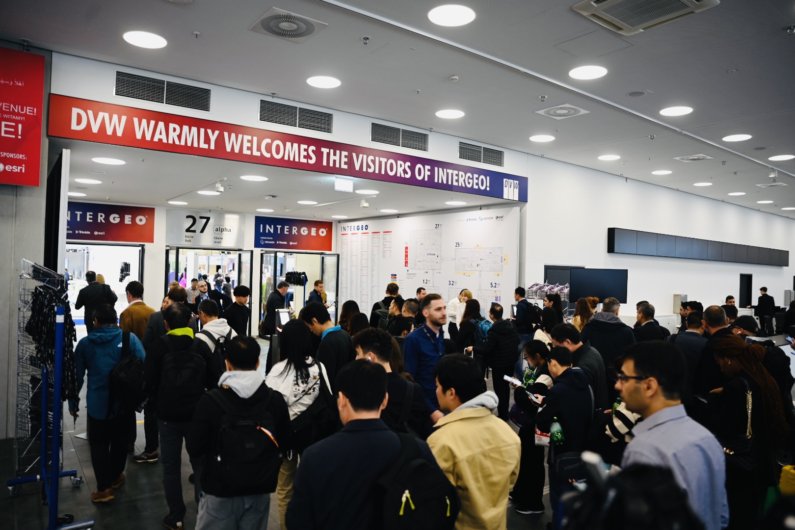
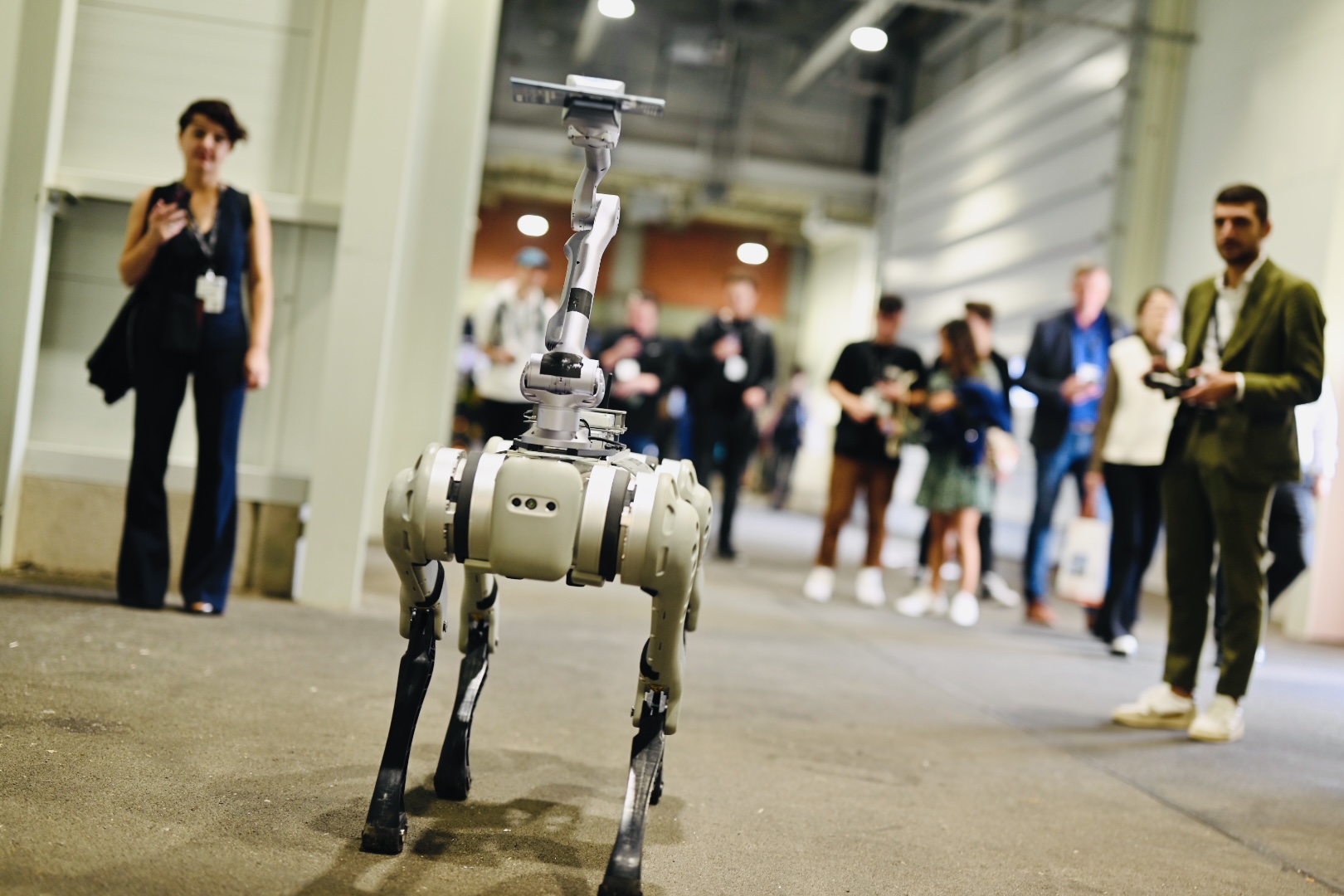
Intergeo 2025 is set to take over Frankfurt this fall, bringing together the top minds in geodesy, GIS, and drone tech. This year, the event hones in on the expanding power of geoinformation from satellite mapping to AI and advanced data visualization showing how these technologies are not just shaping industries but also everyday life.
The highlights for this year include groundbreaking conference topics, interactive exhibits, and sessions on every thing from climate adaptation to the future of digital infrastructure.
With a huge lineup of over 600 exhibitors and a global gathering of industry experts, Intergeo 2025 is poised to define tomorrow's trends. If you're invested in drones, spatial analytics, or mapping, you won't find a better place to feel the momentum of progress.
Go to WebsiteFrom October 7-9 at Messe Frankfurt, Intergeo 2025 is globally recognized as the leading hub for all things geospatial and drone technology.
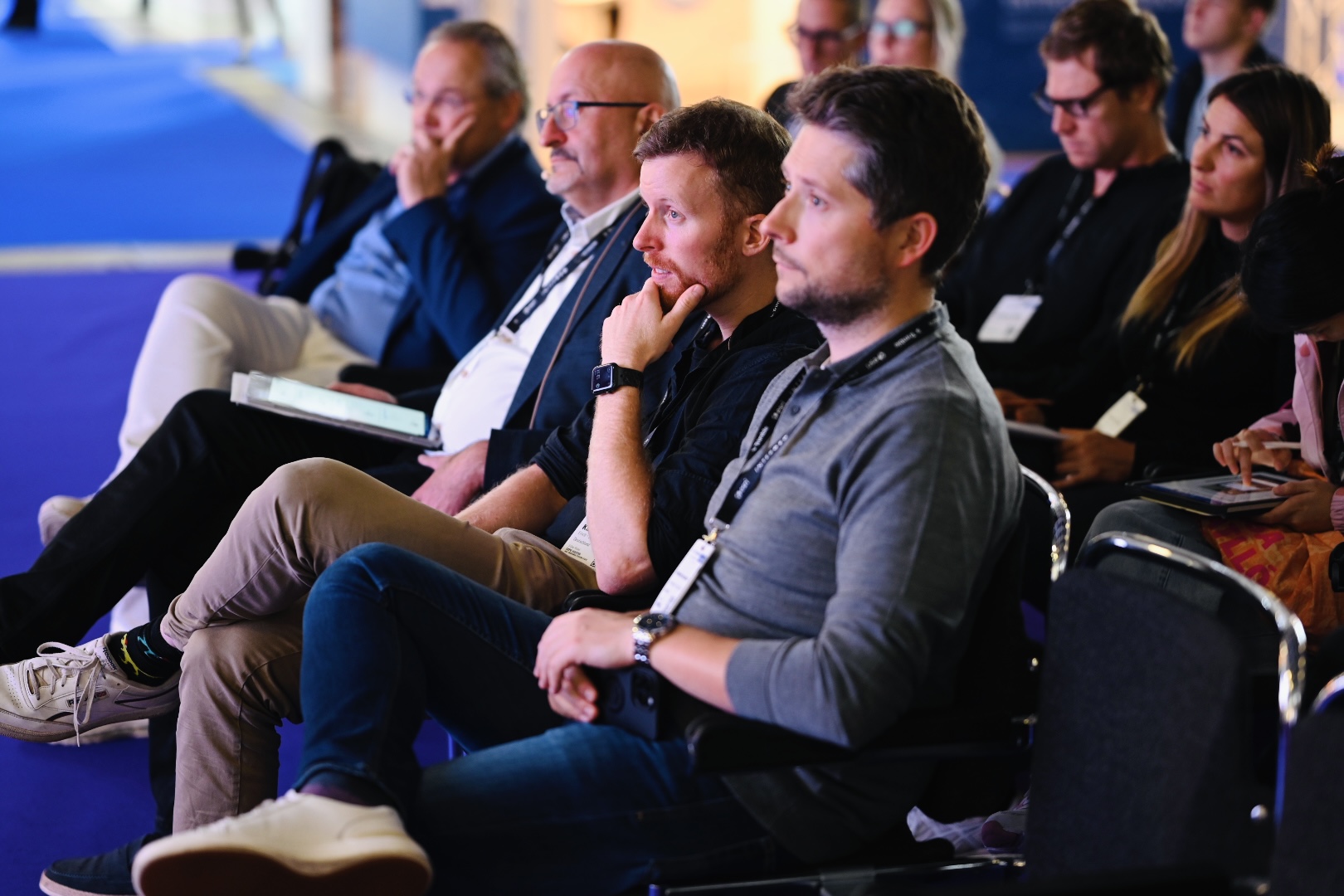
The event offers three packed days of technical sessions, product showcases, and insightful keynotes from leaders in the space sector, public administration, and international tech companies.
Attendees from more than 120 countries are expected to explore over 100 lectures and panels covering AI-powered imaging, the evolution of digital twins, open data, and cutting-edge BIM-GIS workflows.
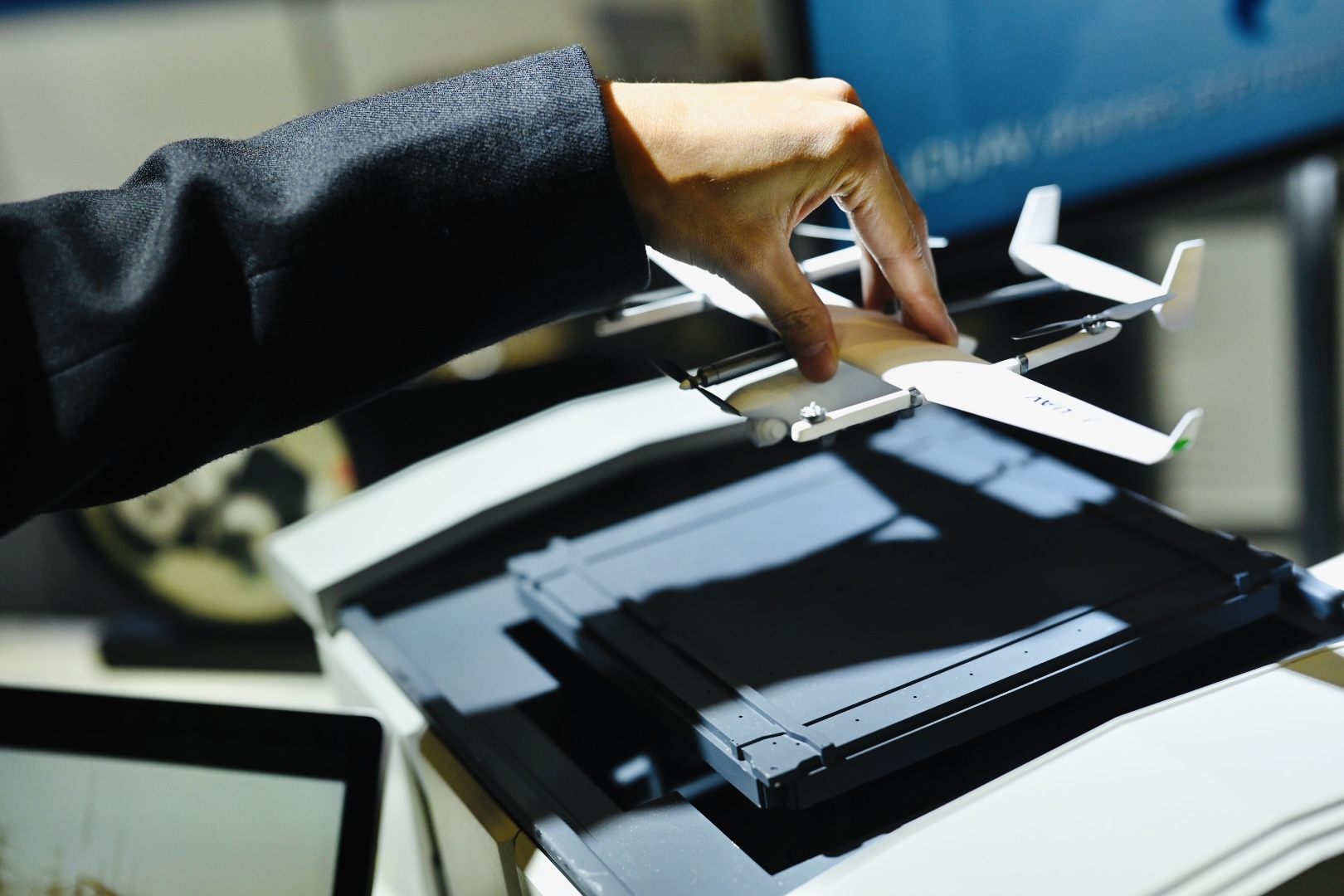
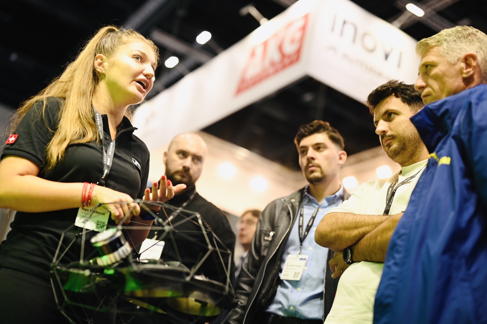
Beyond the educational program, the exhibition halls will be buzzing with real-world applications, think hands-on demonstrations of laser scanning, LiDAR, and photogrammetry alongside live showcases in smart mobility, energy grid management, and rapid disaster response.
By merging new research with practical strategies, Intergeo provides GIS and UAV professionals with a unique look into accelerating innovation.
See Event DetailsDesigned for ambitious professionals in the geospatial, mapping, and drone fields, Inter-geo 2025 will focus on key themes like digital sovereignty, generative AI, and accessible urban design. This emphasis sets it apart as the top destination for visionaries and innova-tors driving the industry's evolution.
Visiting Intergeo 2025 gives you direct access to the latest geospatial and drone solutions, along with valuable networking opportunities with peers, innovators, and industry leaders. It's where professionals can dive into forward-thinking sessions on data integrity, next-gen urban planning, and resilient infrastructure. Hands-on workshops and interactive pan-els let you explore transformative technologies, from advanced sensors to smart city mod-eling. The exhibition floor is the perfect place to discover best practices, gain technical knowledge, and connect with companies from around the world. You’ll leave with new perspectives on industry trends, enhanced expertise, and a stronger network—all of which will help your career grow. Whether you're looking for remote sensing tips or trying to ex-pand your business, the value of the Intergeo experience is unmatched.
Hall 10 - Room: Reflection 2+3
Moderation: Michael Wieland, Speakers: Michael Cramer, Michael Wieland
Andreas Ritter, Head of Operations, UAS365
Hall 10 - Room: Reflection 2+3
Moderation: Heinz-Jürgen Przybilla
Dietmar Geier, Projektleiter "Kompetenzfeld UAS", Landesamt für Geoinformation und Landentwicklung Baden-Württemberg
Jakob Unger, Fachexperte Photogrammetrie/UAV, Landesamt für Geoinformation und Landesvermessung Niedersachsen (LGLN) - Landesbetrieb
Hall 10 - Room: Reflection 2+3
Moderation: Michael Cramer
András Jung, Full professor, Eötvös Loránd University
Jens Bongartz, Professor, Hochschule Koblenz,
Alexander Jenal, Senior Researcher, Hochschule Koblenz
Hall 12.1
Philipp SchneiderHall 12.1
Christoph Hütt