News & Articles

UAV industry holds its own in multiple crises
Mr. Wackwitz, CEO of market research company Drone Industry Insights talk with our reporter Monika Rech-Heider,...
 English

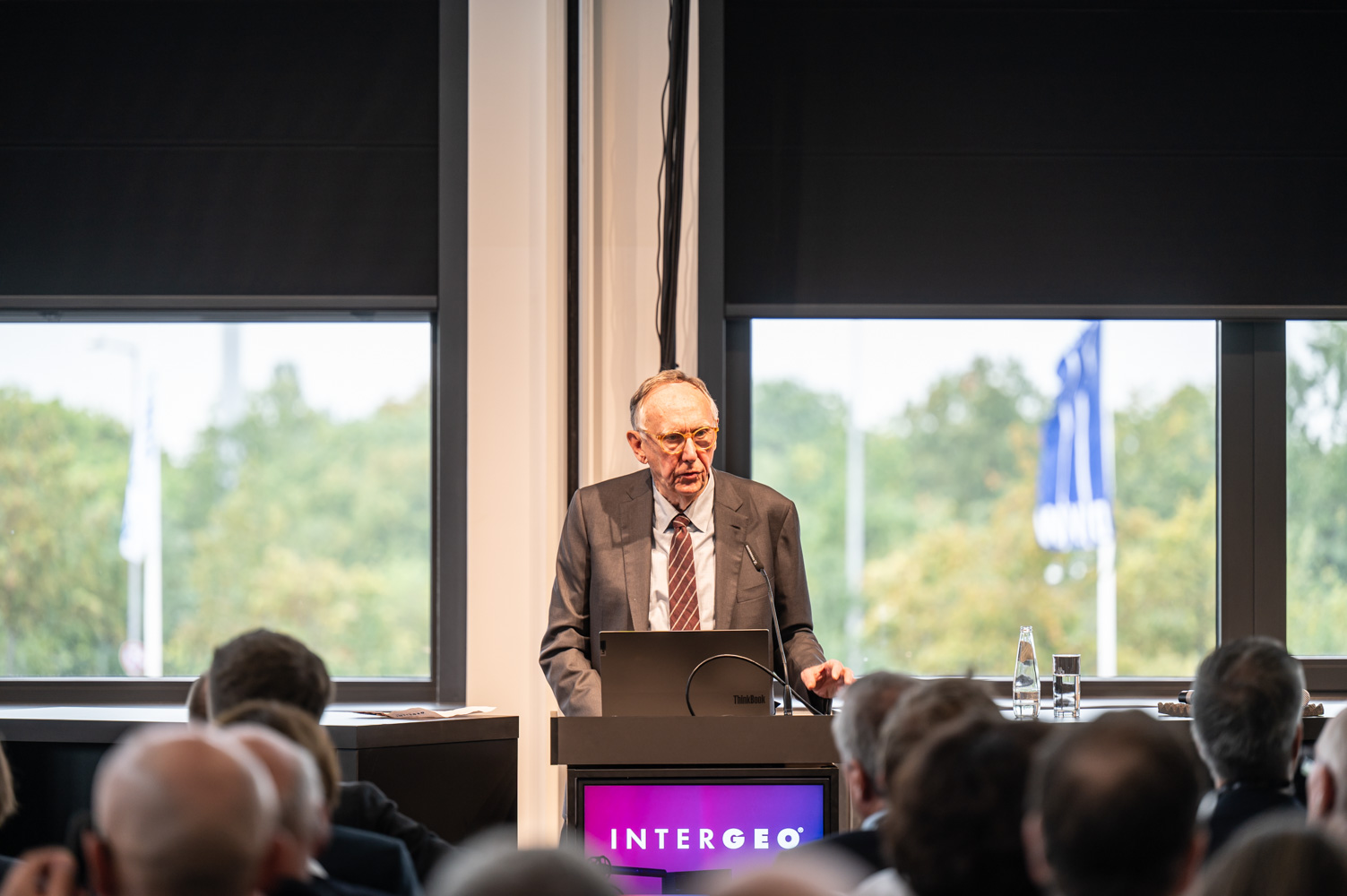
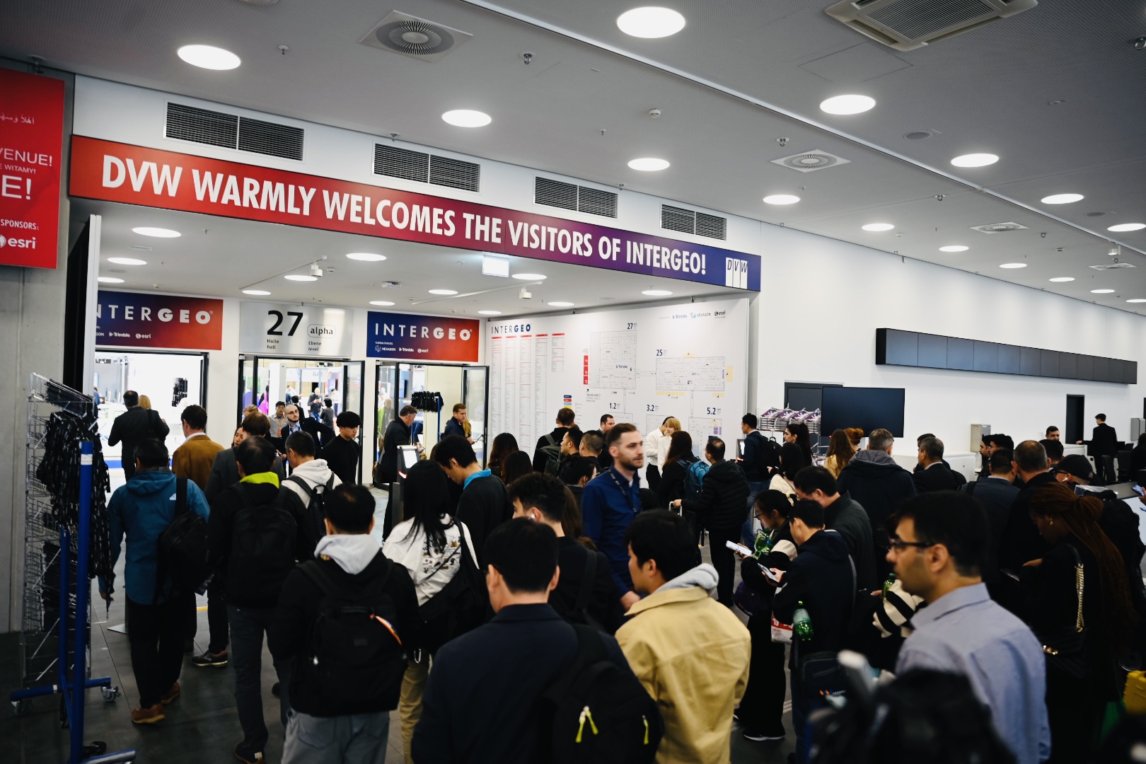
INTERGEO, a world-leading event for geodesy, geoinformation and land management, gathers together experts and visionary minds from all over the world. With 600 international brands, industry leaders, associations and start-ups, INTERGEO is underlining its position as number one in the geospatial community.
The event promotes dialogue between these key stakeholders, encouraging them to network, cooperate and work together to shape the future.
As an international platform, INTERGEO offers a global perspective and facilitates cross-border collaboration, with a view to making full use of the potential offered by geoinformation technologies and coordinating a collective response to global challenges.
Go to WebsiteUnder the motto "Everything that flies", the conference invites attendees to explore the possibilities and potentials of unmanned aerial vehicles (UAVs) and witness the near future of UAVs.
Drones are no longer just a vision of the future; they are already revolutionizing a variety of applications, from inspecting vital infrastructure to logistics in urban areas.
The Unmanned Systems format is designed by the competence partners DVW e.V. - Society for Geodesy, Geoinformation, and Land Management, DGPF - German Society for Photogrammetry, Remote Sensing and Geoinformation, and UAV DACH e.V., and offered as an independent conference within INTERGEO.
The Unmanned Systems event offers participants presentations on innovative technologies and the latest workflows. The latest legal framework will be presented, along with the diverse applications of UAVs.
This leads to significant added value by reducing effort and costs, resulting in interesting business models for UAV applications.
The "Unmanned Systems Stage" is not an ordinary event. It is a meeting point for those who want to explore the boundaries of UAV applications. With a comprehensive program of presentations, discussions, and networking opportunities, the conference provides a unique insight into the world of UAV technologies.
See Event DetailsTrade visitors and exhibitors at the expo typically include a mix of professionals, organizations, and companies from various sectors that have an interest in geospatial data, technology, and BIM solutions.
The Expo serves as a gathering point for a diverse audience deeply interested in geospatial data and technology. Geospatial professionals, including geodesists, surveyors, and GIS analysts, participate to exchange knowledge and explore innovations. Government agencies utilize geospatial information for urban planning, land management, and crisis response, while urban planners, architects, and environmental managers rely on GIS for city development, resource conservation, and impact assessment. Transportation, logistics, utility, and energy sectors optimize operations using geospatial data, while emergency services and NGOs leverage GIS for disaster management and humanitarian aid. Students and educators attend to explore educational and career prospects. Exhibitors showcase cutting-edge geospatial tools and solutions, while consultants provide specialized expertise. International attendees, such as government delegations and global organizations, seek diverse insights. In summary, Geodesy and GIS expos foster networking, knowledge sharing, and technological advancements across a wide range of sectors reliant on geospatial data and technology.
Herr Dr. Falk Götten, Luftfahrt-Bundesamt, Sachgebietsleiter Luftfahrt-Bundesam

Mr Alexander Lopukhov, TOPODRONE, BDM
Mr Msc Hamed AlBrashdi, Petroleum Development Oman, Remote Sensing
Mr Khalifa Awlad Thani, Petroleum Development Oman
Mr Mohammed Al Sulaimani, Petroleum Development Oman
Mr Naseer Al Bulushi, Petroleum Development Oman, Geomatics and Drone Operations
Ms Freda Peng, DJI GmbH, Global Solutions Engineering Director
Mr Brad Li, DJI GmbH, Solution Engineer
Mr. Orlando Grimaldi, Schneider Digital Josef J. Schneider e.K. , Senior Sales Manager
Herr Thomas Widmer, Trimble, Senior Product Manager
Mr Sunny Liao, XGRIDS, Overseas Sales Director
EXPO STAGE 2, hall 5 (E5.052)