- Subscription Plans
- Favorite
- Help
-
 English
-
English
Geo Week is the premier event for increased integration between the built environment, advanced airborne/terrestrial technologies, and commercial 3D technologies. It was created as a response to the changing needs of built world and geospatial professionals, and to acknowledge the convergence of technology taking place currently.
New technological innovations, the need for remote workflows, and hardware breakthroughs are redefining expectations across teams, organizations, and entire industries. Geo Week is at the center of it all.
Go to WebsiteGeo Week: The next step in the evolution of the International Lidar Mapping Forum (ILMF), SPAR 3D Expo & Conference and AEC Next.Created in response to the changing needs of built world and geospatial professionals, and to acknowledge the increasing convergence of technology. Geo Week’s conference program and tradeshow floor feature commercial applications of 3D technologies, innovations and case studies in the built environment, advanced airborne and terrestrial remote sensing solutions, smart products for a full project team and much more!
New technological innovations, the need for remote workflows, and hardware breakthroughs are redefining expectations across teams, organizations, and entire industries. Geo Week is at the center of it all.
See Event DetailsIndustries Served
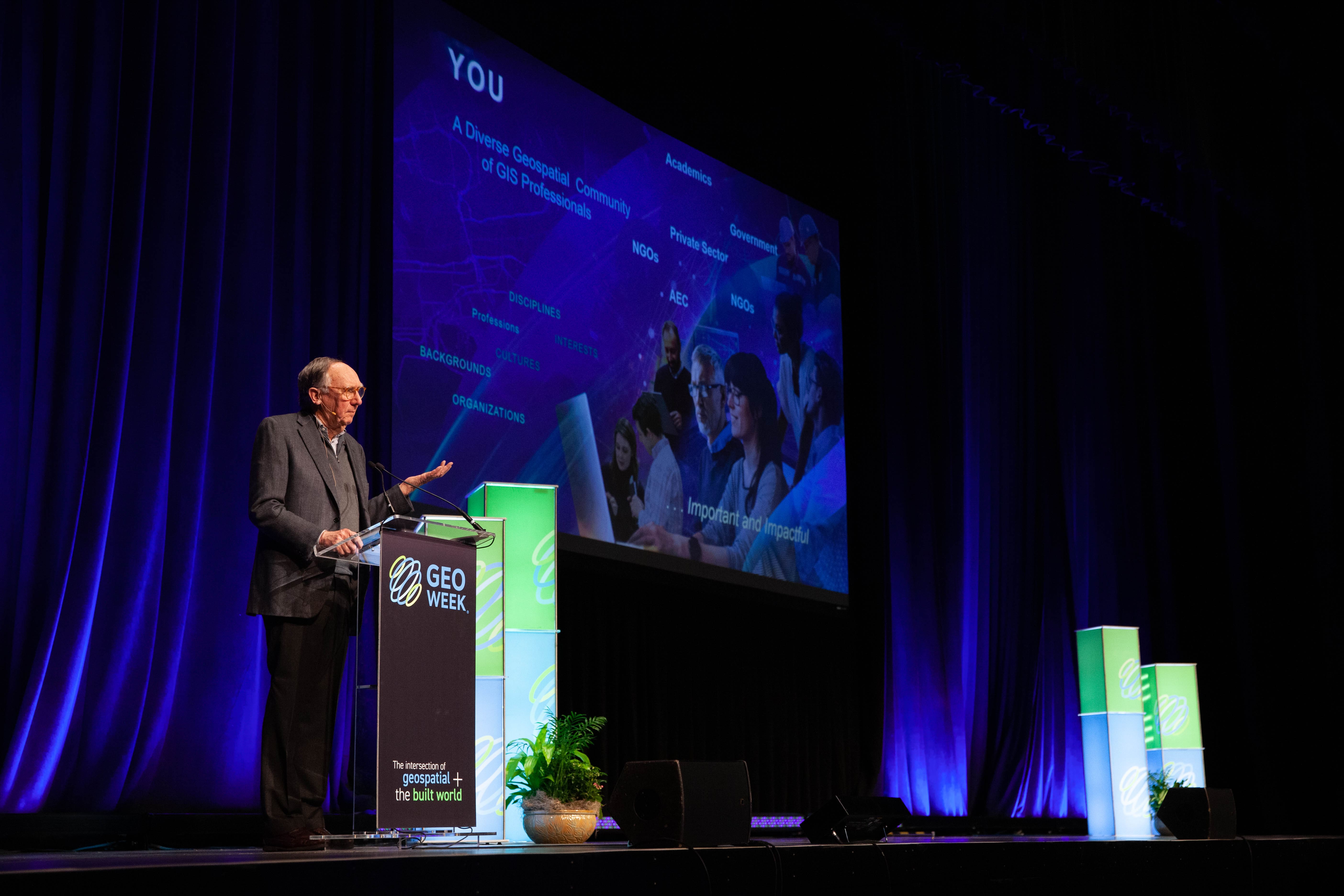
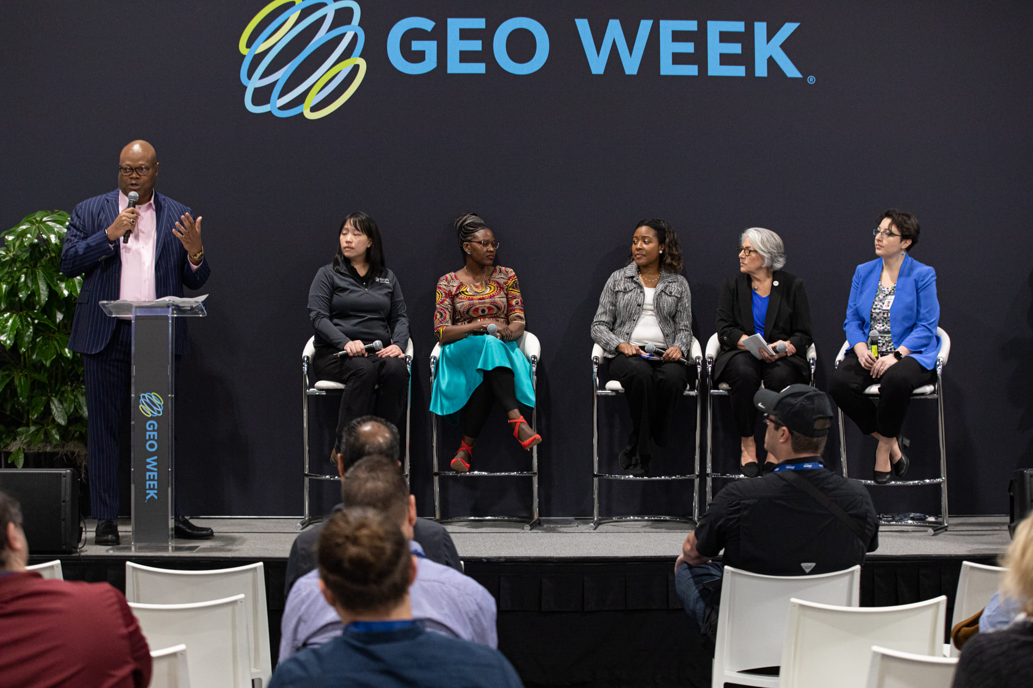
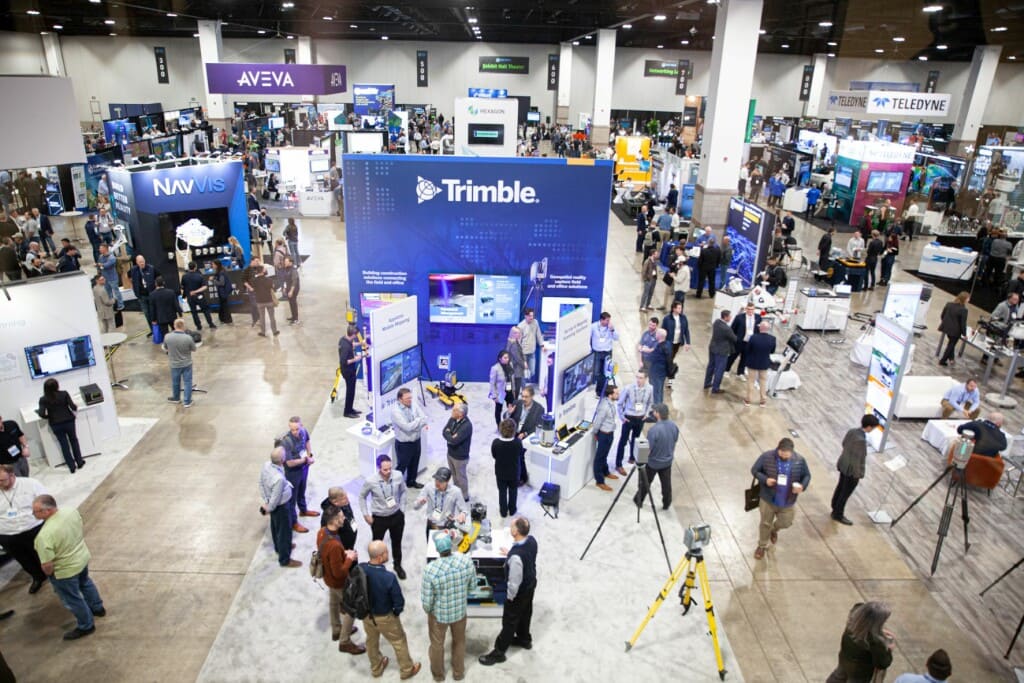
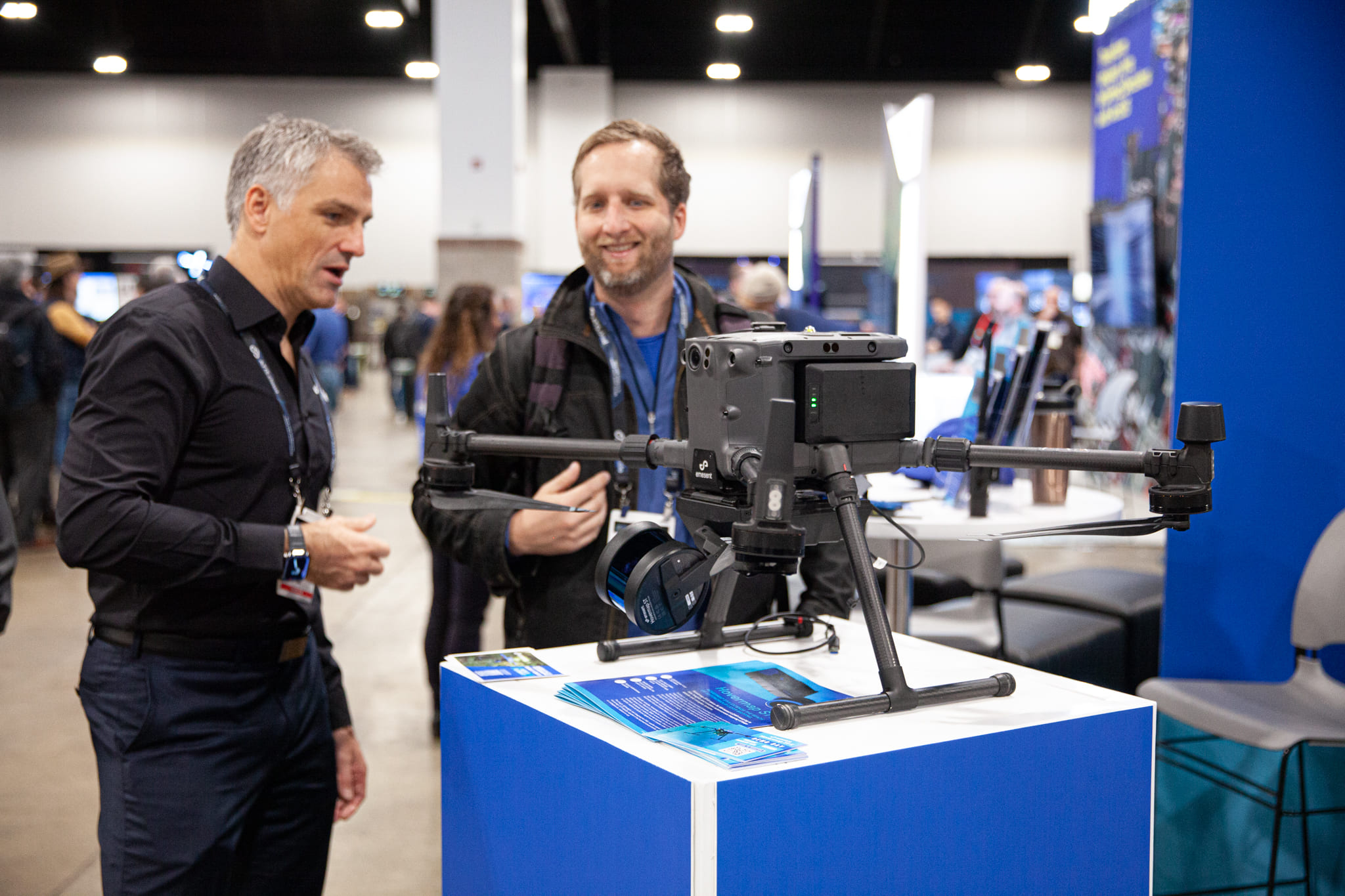
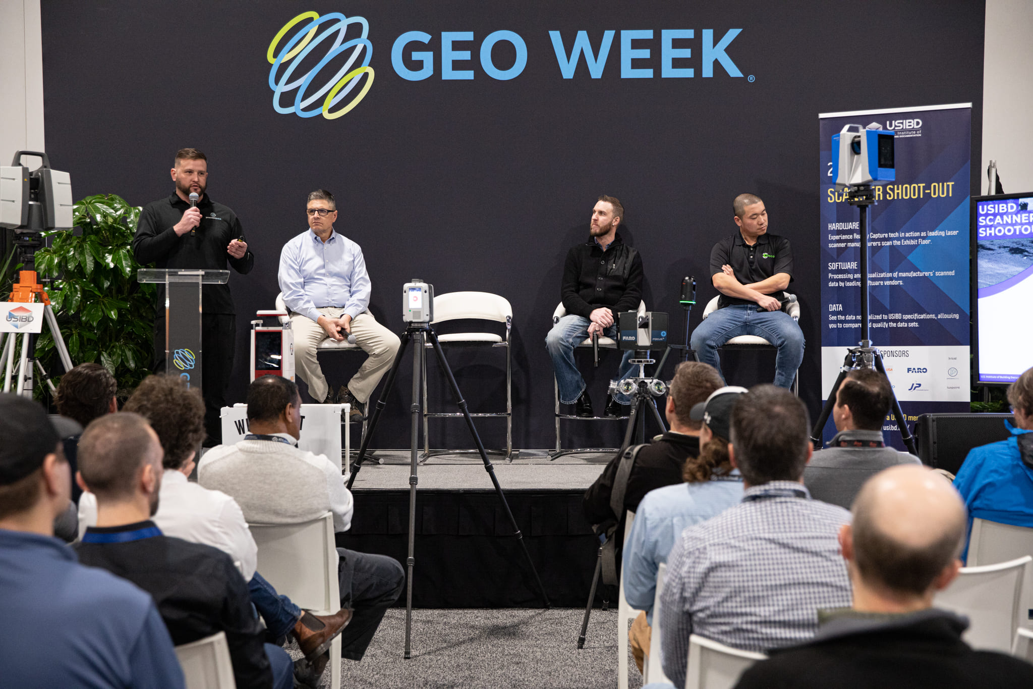
Welcome to Geo Week, the intersection of geospatial + the built world. Geo Week is the premier event for increased integration between the built environment, advanced airborne/terrestrial technologies, and commercial 3D technologies. The combined conference program and tradeshow floor will feature commercial appli-cations of 3D technologies, innovations, and case studies in the built environment, ad-vanced airborne and terrestrial remote sensing solutions, smart products for a full project team, and much more!

Dr. Mohamed M.R. Mostafa, Lead Technical Authority at Trimble Applanix
John McCombs, GIS Team Lead - Senior Remote Sensing Analyst at Lynker
Dr. Jitendra Sharma, Instructor at the Dutton e-Education Institute at the Penn State University
Dr. Qassim Abdullah, Vice President & Chief Scientist for Woolpert
Mile High Ballroom 2B
Dr. Indu Jeyachandran, Assistant Professor at San Jose State University
Room 504
Room 502
Mile High Ballroom 2B
Canserina Kurnia, Senior Solution Engineer at Esri
David Wright Lead Solution Engineer, Imagery & Remote Sensing
at Esri
Mile High Ballroom 3-4
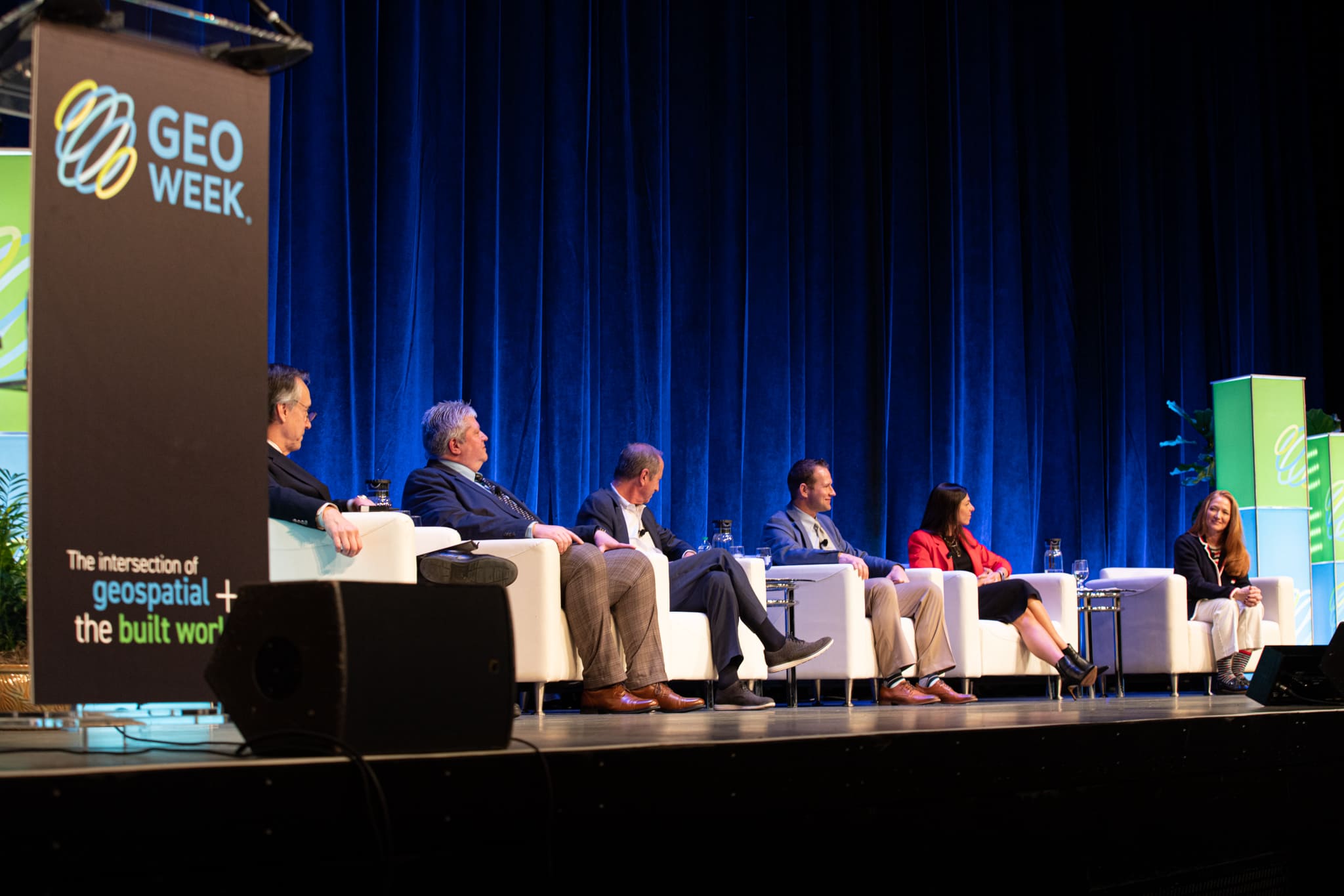
Claire Rutkowski, Chief Information Officer at POWER Engineers
Andrea Springer, Vice President, Digital Engineering Solutions at CDM Smith
Ben Stocker, Senior Construction Technologist at Skender,
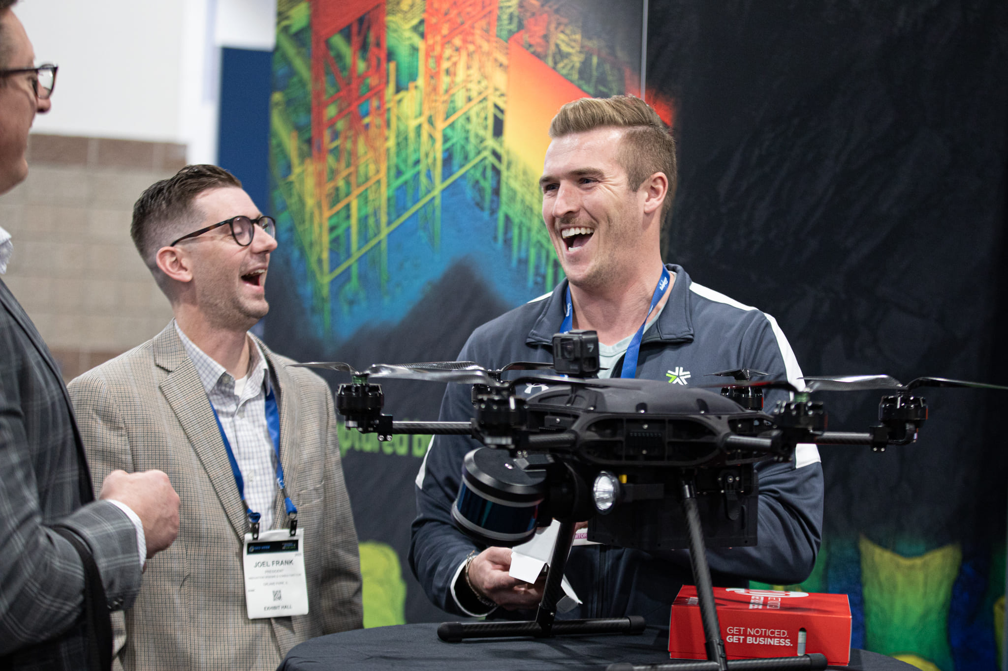
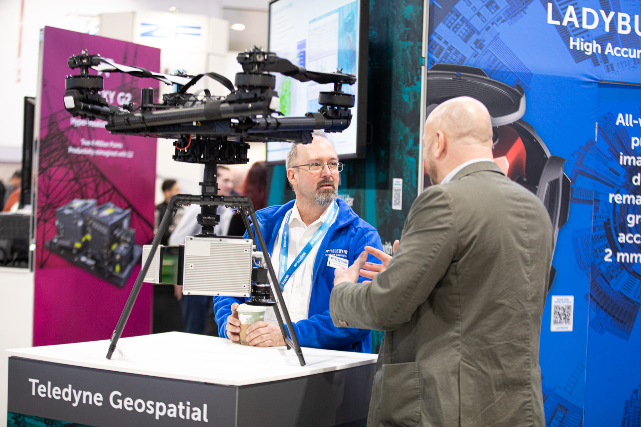
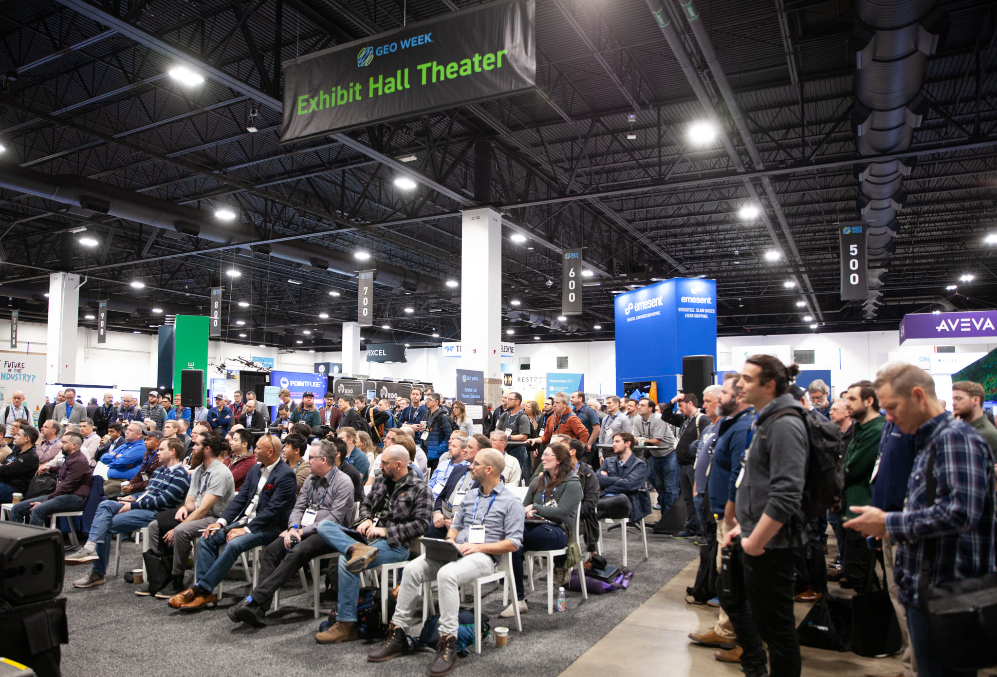
Exhibit Hall