 English


THEORETICAL TRAINING (1.5 DAYS)
What is photogrammetry used for? Who are the potential customers? What results can the drone pilot offer?
Introductory training in PIX4D MAPPER PRO photogrammetry software
Point cloud development and the 3D model
Distances, areas and cubatures calculation
DSM development (Digital Surface Model)
Ortho photos development
Multispectral photogrammetry in agriculture
Retrieving data
Reports
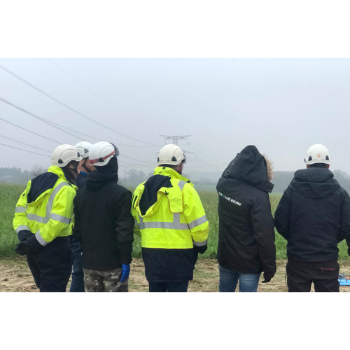
PRACTICAL TRAINING (1/2 DAY)
Flights in real conditions on drones provided by DRONE VOLT.
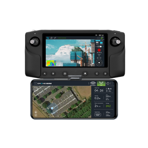
Realization grids (NADIR and / or OBLIQUE) and image capture with Pix4d capture software.
Data input in Pix4D and launch data processing with the software.


